Sunday September 15, 2019
Road video and map – North Brisbane, QLD to Byron Bay, NSW
Today was a good day of sightseeing with plenty of the driving I like ,twisty roads through interesting places, instead of the drudgery of road works, traffic and bumpy roads that I experienced on the way to the zoo yesterday.
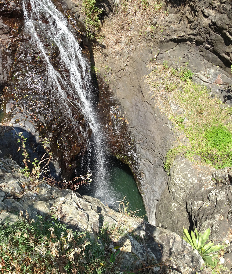
The first interesting place was Springbrook National Park about 100 km/62 miles south of Brisbane. This is an area of old growth sub-tropical rain forest that covers a plateau and the surrounding hills. and provided a wonderful drive through forested ravines, small communities and bucolic countryside. My target, within the park, was the Natural Bridge area. This is not formed in the usual way but as a large cave where a stream has eroded a significant hole through part of the roof and now falls into the cave as a waterfall. The stream then flows out through the cave mouth, making it a natural bridge.
This video from inside should make it clearer. The early shot is the mouth of the cave and it swings to the waterfall and on to the back of the cave.
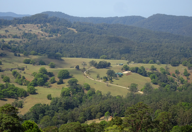
This is the view from above with the natural bridge being the large block of rock on the right.
A more general view of the scenery in Springbrook NP.
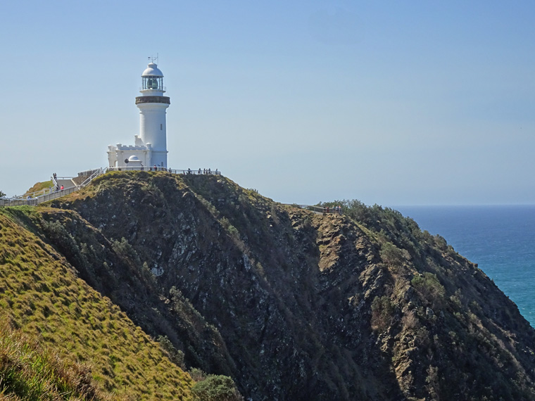
As you may have gathered from the Great Barrier Reef post I am not interested in the water activities that dominate these parts but Byron Bay is regarded as a jewel along the coast and I headed to Cape Byron to see the views and visit the lighthouse. The lighthouse is not particularly historic, having commenced operations in 1901, but they have an interesting, small museum and frequent guided tours.
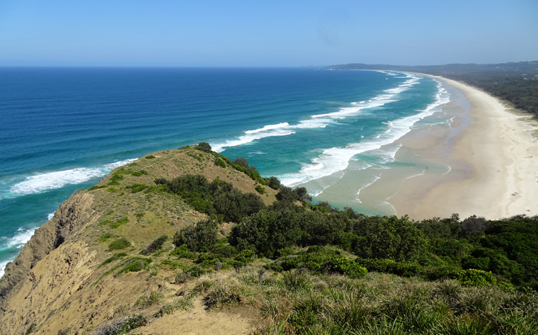
The view of Byron Bay from near the lighthouse.