Today marks the start of my Fall 2016 trip and the addition of a new feature to the blog. Since today’s journey was rather mundane I’ll start with the blog update.
Although I am blogging about my trips so that anyone can follow along my prime motivation has always been to maintain good documentation of the trips for myself. Over the summer I re-read many of the posts from the original Perimeter trip last fall and really enjoyed recalling my experiences. One issue I had, however, was finding the post that corresponded to a particular place was not easy since I tend to use a description of the day, rather than place names, in my post titles. I also felt that the appearance of the home page did not reflect the purpose of the site very well. In order to address both issues I have developed a new home page that is an interactive map of all trips with links to the individual trips and on to each post by clicking on the section of interest. The trip tracks on these maps join my locations every minute while I was driving so they show enough detail to follow the roads I traveled but don’t necessarily follow them accurately. The blog posts, however, will still have the map/road video link with exact paths. You can see the new maps by clicking on the “Overview Trip Map” menu item above.
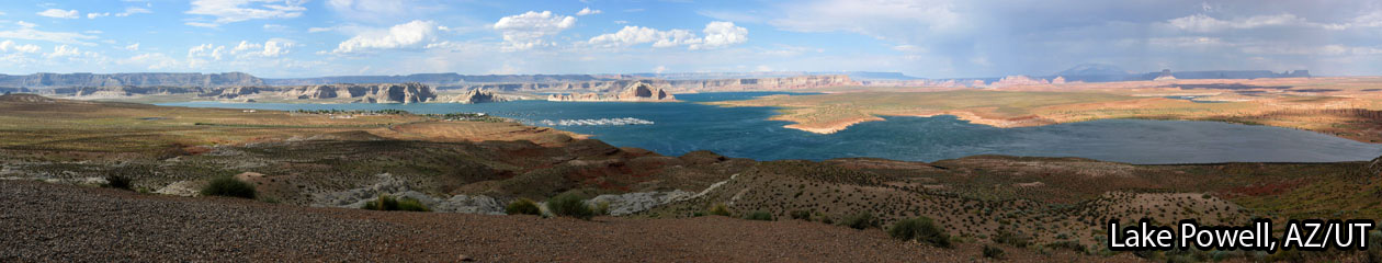
I have decided to call the trip I started today the Perimeter South trip as the main purpose is to complete the perimeter of the lower 49 States and most of the remaining section is along the southern border. Before resuming the perimeter, however, I have to get to California and I have decided to take a northern route. Today’s segment was pure driving so there are no photos or points of special interest but several sections are on scenic roads and make pleasant viewing. Another change I am implementing after analyzing the obvious errors in the elevation data is to arbitrarily add 35 feet to the values my GPS receiver provides. As a scientist I know that there is no good justification for this except that this seems to be the typical discrepancy between the readings recorded and true elevation based on road markers.
It’s good to be back on the road and todays map and video are here.
Are you coming to SFO? Please let us know; we will be back on the 2nd of Oct. from Ireland. Love, Kusum
SFO is on the planned route but I don’t have a date yet. I’ll get in touch when I have a better idea of timing. Hope you are enjoying your trip.
Schools are back and, as a newly-retired teacher, that’s the time for a trip. Obviously you’re an inspiration. This is from Visegrad in the Republika Serbska area of Bosnia. Looking forward to you completing the Perimeter.
It’s a great time to be retired. Hope you are having a wonderful time in Bosnia.
WOW Steve, and off you go again! I just arrived back to DC yesterday and will look forward to seeing you when you return.
Bad timing but we will have plenty to talk about when I get back.