Wednesday, September 30 2026
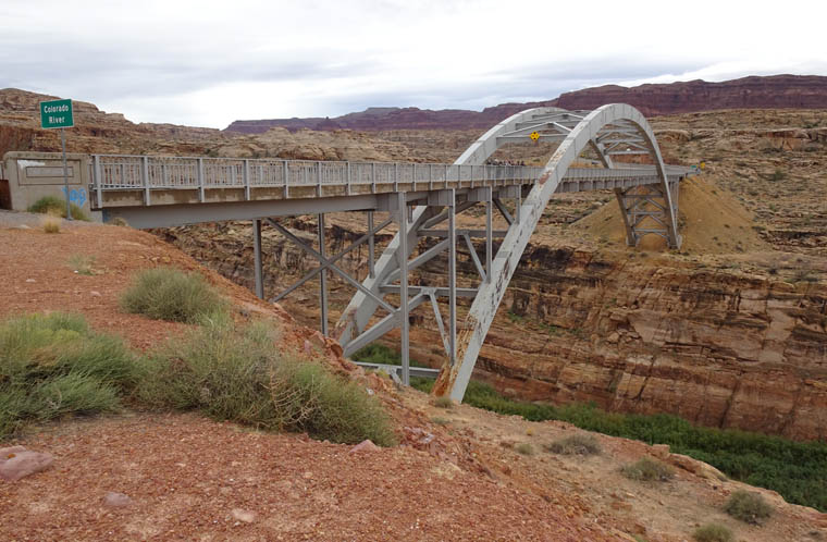
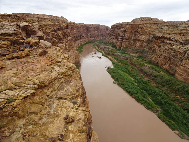
As I have mentioned, there are few intersections of roads with the Colorado river in southern Utah. The Hite Crossing Bridge, just north of Lake Powell, is the only vehicular crossing point in a distance of over 250 miles (402 km) along the river. The nearest crossing upstream is 110 river miles (177 km) and 135 driving miles (217 km) from Hite and the nearest downstream crossing is 154 river miles (248 km) and 155 driving miles (249 km) away. Since it is on the Utah 95 scenic byway this was where I crossed the Colorado today. I discovered this route back in the 90s and this is the second time I have blogged about it so it is very familiar to me.
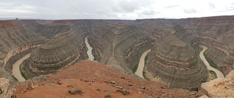
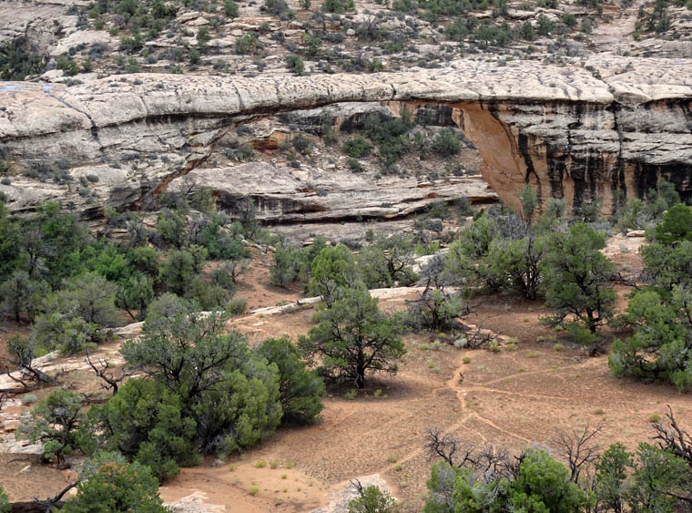
The highlights of today’s drive were scenic route Utah 95 and Natural Bridges National Monument (which I blogged about here), followed by Moki Dugway and Goosenecks State Park (which were covered here). I guess I have the same favorites now as I did then because I took photos of virtually the same views on both visits.
The Moki Dugway was particularly interesting to drive today. It is a series of dirt road switchbacks that descend nearly 1,200 feet (366 m) from Cedar Mesa into the Valley of the Gods over a distance of about 3 miles (4.8 km). It is considered to be Utah’s most dangerous road and as I approached in the rain I realized the area was covered in cloud and visibility was very poor. However, once I was halfway down, the cloud was above me and the beauty of the area became visible (but you will need to watch the road video to see this).
The disappointment of the day came from being unable to drive the one thing that would have been new to me, the Valley of the Gods Scenic Loop. It is part of Bears Ears National Monument and is a 17 mile (27 km) dirt road that allows visitors to drive close to and around red sandstone monoliths. Unfortunately the road is steep and much of the surface is clay soil that becomes impassable, even for 4WD high clearance vehicles, when wet. My small crossover didn’t stand a chance in today’s conditions.
That meant that I returned to the familiar Goosenecks State Park to enjoy the view before arriving at my hotel in Mexican Hat, Utah.