
Saturday, October 10 2026
Today was supposed to be the culmination of my attempt to Follow the Colorado as I drove from Lake Havasu City south to the point that, after studying the course of the river as it flows into Mexico on Google Maps and using street view extensively, I believe to be the closest point to the border that is publicly accessible and safe to stop to take a picture. Much of the land around the river very close to the border is private so my image is taken about 2.2 miles (3.5 km) away from the actual border.
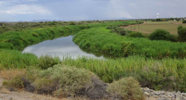
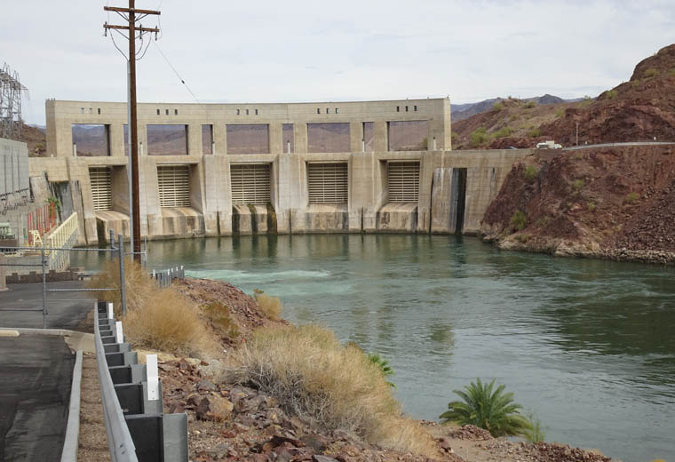
I tried to use a route that kept me as close to the river as possible but there were just a few glimpses of it in the road video and there always seemed to be private properties between us. The only decent views were near Parker Dam just south of Lake Havasu City.
Try as I might, using both Google Maps and TripAdvisor, I could find nothing along the way that enticed me to stop so it became a simple travel day and a very short post with 50% of my photos needing a retake. I will be driving to Phoenix tomorrow as there are no direct flights from Yuma to Washington.