
Monday, October 5 2026
I spent the day on the west rim trail/road to Hermits Rest along the south rim of Grand Canyon National Park where private vehicles are not allowed and access is only on park shuttle buses. Since I wanted to see the sunset from a viewpoint along the road I decided to get a big lunch in Grand Canyon village to sustain me through the day but that proved a challenge. Last month there was fatal flash flooding in the canyon that damaged the water supply system for the north and south rims in the park. The lodges and hotels on the south rim are not offering overnight accommodations at the moment as a result of no water being available. Luckily, I reserved a hotel a mile outside the park so I was not affected. The alerts page on the park website tells visitors about the closure but also says “The park remains open for day use, with food and beverage services, the Grand Canyon Clinic, and Post Office remaining open.” However, when I went to get lunch there were no cafés or restaurants open and I had to settle for pre-packaged sandwiches from a gift shop.
Once on the shuttle I traveled to the last stop at Hermits Rest and worked my way back, walking some stops and using the shuttle bus for longer distances. Once again, the weather was perfect with bright sunshine, a breeze and temperatures in the low 70s F (around 22 C). Although I took many photos I will add just a few since photos do not capture the essence of being there and often look very similar.
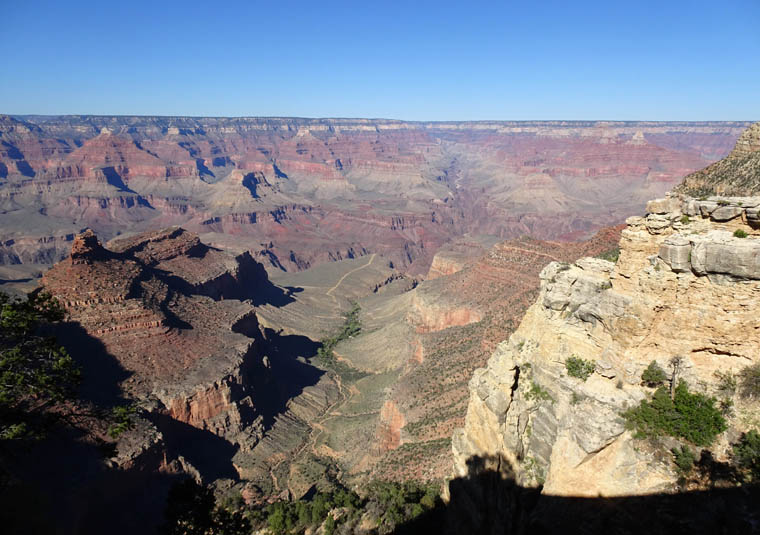
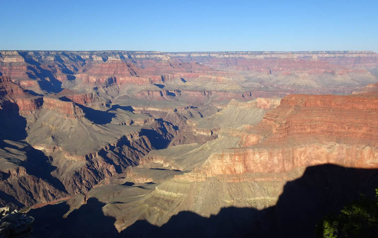
I decided that I would view the sunset from Mohave Point which is western facing but nowhere near as popular as Hopi Point which is the spot typically recommended and where I had previously viewed sunsets. Sunset was a few minutes after 6 PM so I decided to walk from the previous stop to Mohave Point to arrive about 10 minutes before sunset – hoping to get some pictures with red rock in “Golden Hour” light.
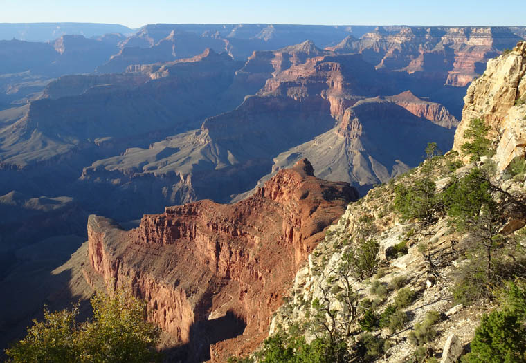
Also, the clear sky did not provide a memorable sunset as the sun, which was pleasant to the human eye wearing sunglasses, was just a blob of white light to my regular Sony camera.
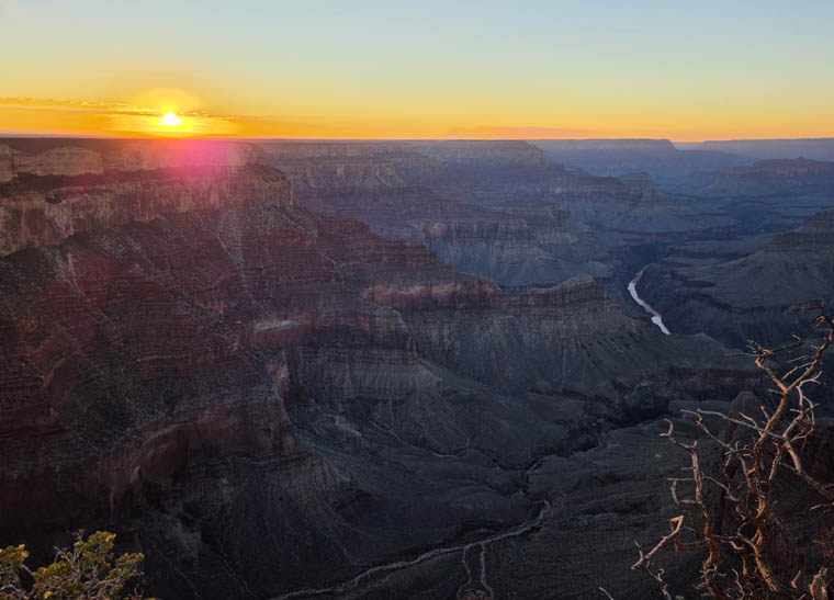
While the day did not live up to my expectations it provided plenty of exercise in wonderful surroundings and conditions so it was a good one.
Tuesday, October 6 2026
This was mainly a traveling day as I drove the 232 miles (373 km) from Tusayan, just outside of the south rim of Grand Canyon NP to Grand Canyon West. It is here that the Hualapai tribe built their own park and where most visitors here are on a day bus trip from Las Vegas. Mine was not a wonderful drive as the roads were largely straight and fast through scrubby desert with no good scenery but was going well until my GPS sent me along an incredibly bumpy dirt road. I was very surprised since I had the “avoid unpaved roads option” selected for the routing. After two miles of the camera literally shaking side to side about 1/2 inch (1.3 cm) I stopped to view the map in detail to discover that the road was 30 miles long. I figured it would take about 3 hours to complete and turned back. I looked at the route the tour buses from Vegas must use to visit the park and switched to that route, knowing they would not drive on unpaved roads.
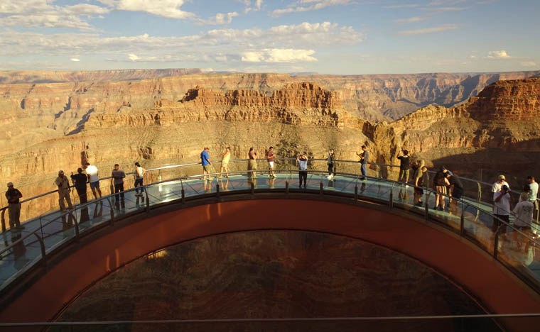
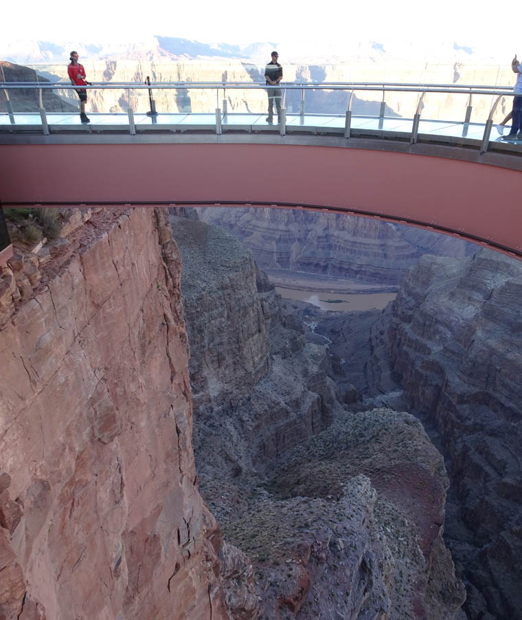
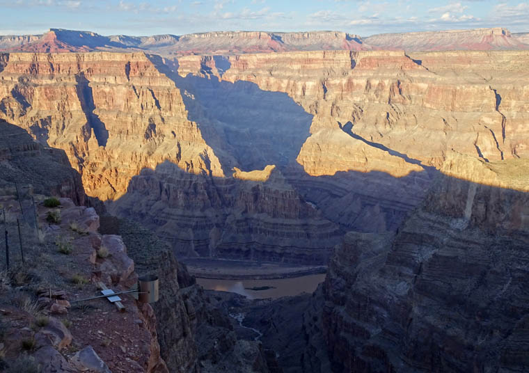
As most visitors are day trippers and the park is about 2 1/2 hours driving time from Vegas everything seems to close at 5 PM and so, by the time I got here and checked in to my cabin, there was only time to eat a very early dinner and check out the Skywalk which is the main attraction here. The Skywalk is a 180 degree curved, glass bottomed bridge which extends 70 feet (21 m) from the rim of Eagle Canyon some 4,000 feet (1,220 m) above the canyon floor.
Tomorrow I will complete the attractions at Grand Canyon West and head towards my next Colorado encounter.
Ooooh, so exciting. Love the pictures you take. Love, Kusum and Uday
Thanks for supporting. Hope you’re both doing well.