
Monday, September 28 2026
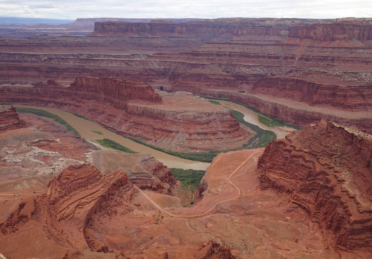
Following the Colorado has been easy so far with roads alongside the river for much of the way. However, as the river traverses the Colorado Plateau in Utah and Arizona this becomes more challenging. The region mainly consists of high, rocky, very sparsely populated desert and the river has cut deep canyons to flow through. It now becomes a matter of intersecting with the river where roads exist which is what I did today as I drove from Moab to Green River, UT with stops at Dead Horse Point State Park and Canyonlands National Park which both provide stunning scenery compliments of the Colorado river.
Dead Horse Point is a wedge shaped area of land high above the Colorado which has a narrow neck connecting it to the rest of a large mesa. The story goes that cowboys used to round up wild horses on the mesa and drive them through the neck of Dead Horse Point which they would then barricade with fences. Since the horses could not get out through the now blocked neck this was a very efficient method of corralling the wild horses. The cowboys would then pick the best horses for themselves or to sell and, for reasons that are unknown, would leave the rest to die, trapped on the point with no food or water.
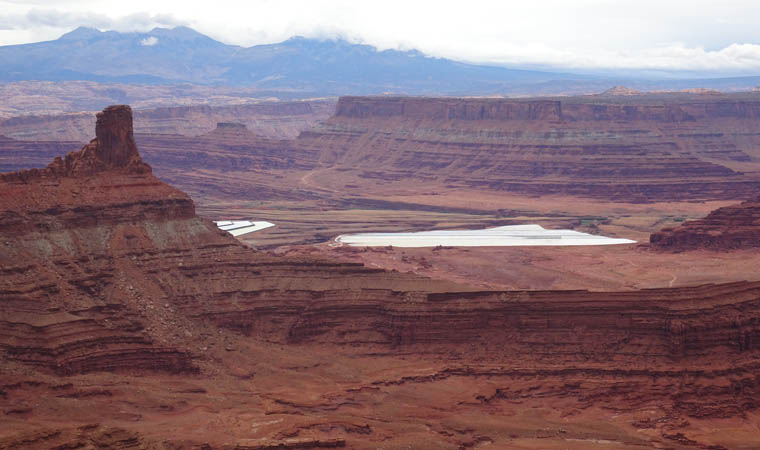
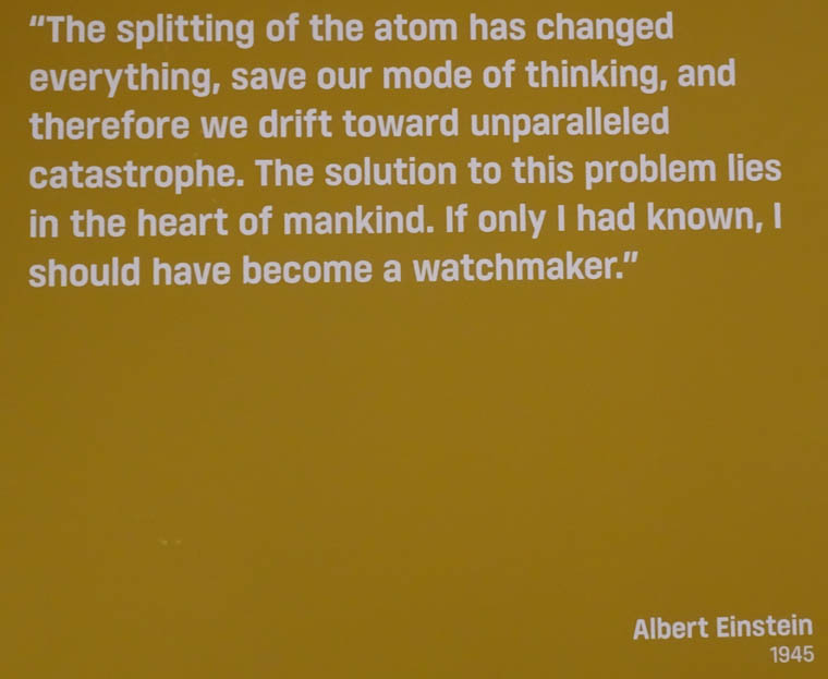
The park visitor center had a small exhibit about the importance of the area in the development of atomic bombs and power due to a plentiful supply of Uranium ore that was discovered in 1952. Moab is known now as a hub for outdoor recreation but, in the mid 1950s, the town grew in population from 1,000 to 6,000 as prospectors searched for Uranium ore deposits and it was known as the “Uranium Capital of the World”. The US government guaranteed to purchase all the Uranium ore that prospectors found at a fixed price and many residents became wealthy. There have been many issues with health and the environment left behind and, even today, the Department of the Environment has a large clean up operation called the Moab UMTRA Project that is removing toxic, radioactive waste left from Uranium mining to ensure it does not contaminate the Colorado river basin. Despite Moab’s success as a tourism destination its full time population is still around 5,500.
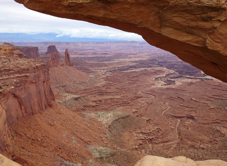
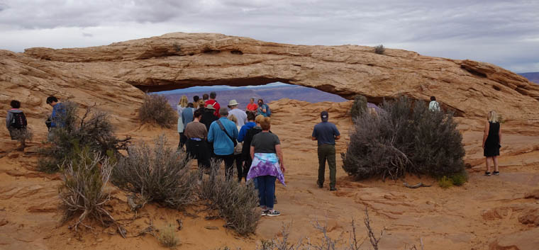
Next I moved on to the Islands in the Sky district of Canyonlands National Park. I have visited twice before so this was more of a photo stop while I was in the area than a process of discovery. I took a short trail to Mesa Arch, an unusual formation on the canyon rim that provides a frame for viewing the canyons below.
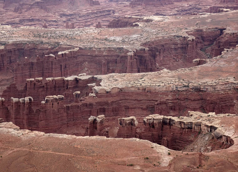
I then drove on to Grand View overlook which I had not expected to be open since, when I was planning in early August, the Park Service website said it would be closed on weekdays until early October for a construction project.
I then drove on to the city of Green River for the night from where I will head towards my next Colorado intersection tomorrow.