
Saturday, September 26 2026
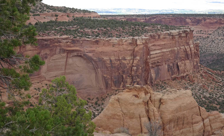
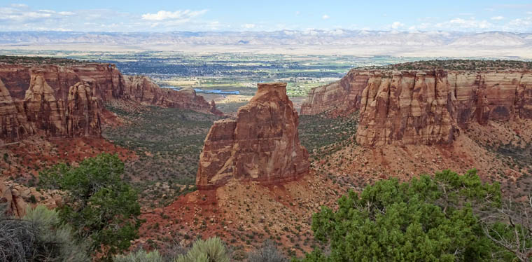
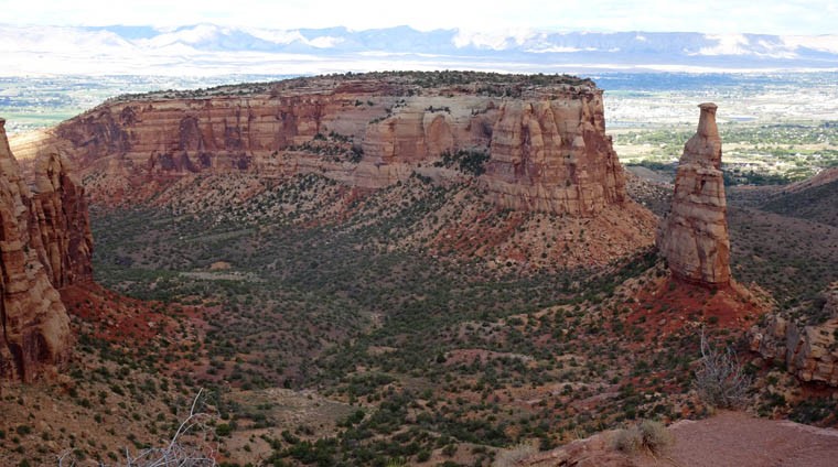
Although I’m still following the river, and it is visible in the road video, there are no photos of it today. Instead I visited its namesake, Colorado National Monument, for the first time. The monument is a series of deep canyons carved by ice, wind and water through 13 layers of rock deposited up to 1.5 billion years ago. They were uplifted from the ocean by tectonic forces forming the Colorado Plateau. only to be eroded into the forms visible today. Their only relationship to the Colorado river is that the rivers and streams that carved the canyons probably flowed into it. The monument is just south of the river valley and the cities of Grand Junction and Fruita, my home for tonight.
The day did not start well. The lodge I was staying at in Glenwood Springs has 99 rooms but, when I went to eat the included breakfast, I found that there are only 12 tables in the breakfast room and all seats were taken. I grabbed a cup of coffee and decided to get breakfast elsewhere forgetting that it was Saturday and, therefore, a long wait for a table anywhere. Breakfast was worth waiting for but I had lost at least one and a half hours and did not get on the road until 11 AM.
Again, the drive was rewarding with plenty of good scenery to be seen on Interstate 70 as I headed toward Grand Junction as well as in the National Monument. I started my time in the monument with a trail to Devil’s Kitchen, a rock formation near the top of a canyon that has several large monoliths of red rock surrounding a rock stump, considered to be the kitchen table.
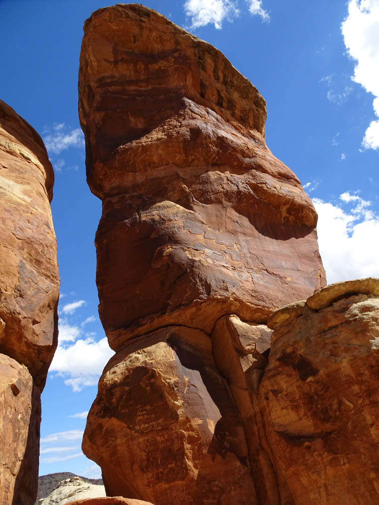
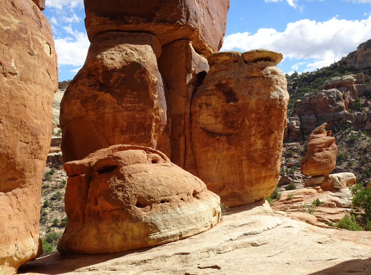
The monument has a scenic drive called Rock Rim Drive which, in places; is 2,000 feet (610 m) above the canyon floor it overlooks. There are many turnouts but the National Park Service (NPS) don’t do a good job of alerting you to upcoming overlooks as the only sign is in the actual turnout and the official map that comes with the NPS app download doesn’t mark the overlooks. I missed the first viewpoint I had planned to stop at but still found plenty to interest me.
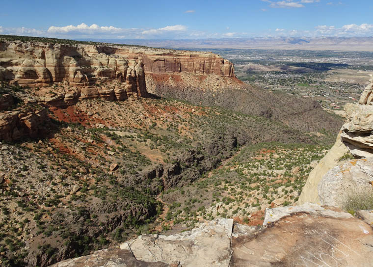
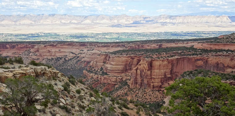
Definitely enjoying the trip so far!