Monday Oct 1, 2018
Map and road video – Baddeck to Margaree, NS via the Cabot Trail
I have to say that I am unimpressed by the quality of weather forecasting I’ve experienced on this trip and today was a good example. On Friday, when I planned my time on Cape Breton Island, the forecast called for Sunday, Monday and Tuesday to be “mainly sunny” and each day had a 10% probability of precipitation. Since the timing can always change I decided to use Monday to drive the Cabot Trail as it was in the middle of the nice spell. Imagine my surprise when, yesterday, the forecast for today suddenly changed to a 40% chance of showers and today actually delivered long periods of significant rain.
The drive was still impressive with some magnificent coastal views, gorgeous hills and valleys, a waterfall and enough trails along the way to keep a keen hiker happy for a month. I thoroughly enjoyed the experience even as I was disappointed by the poor conditions. I made just two stops apart from roadside photo opportunities. The first was at Beulach Ban Falls where a short trail from the parking lot at the end of a dirt road takes you to this 65 foot drop over the Aspy fault.
My second stop was at Skyline Trail which is a 5 mile round trip hike to a coastal overlook. The trail itself was nothing special as it mainly passed through low growth boreal forest but there were occasional patches of wildflowers along the way and also a section of boardwalk over a bog to provide some variation. The coastal view at the end was wonderful despite the dampness in the air and you could also see the Cabot Trail as it wound though a steep, wooded valley heading to the coast.
It was very wet as I drove the eastern and northern sides of the Cape Breton Highlands National Park which contains the most spectacular parts of the Cabot Trail. However, I arrived at the Lackies Bay overlook between showers.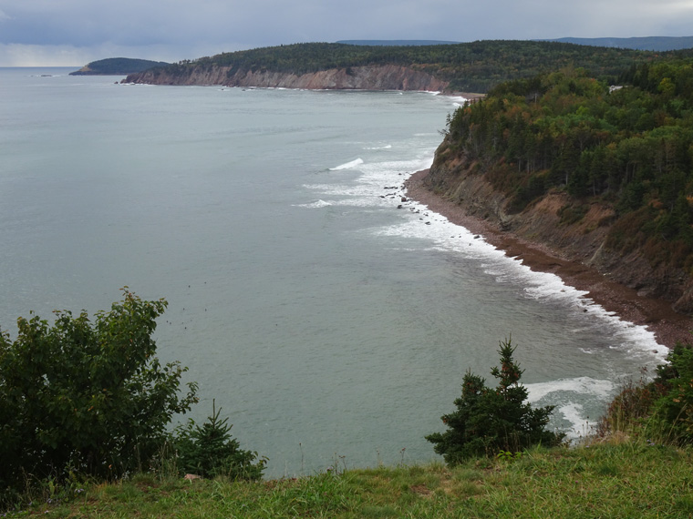
The locals keep on telling me that they “need the rain” and I guess it’s true when I see the pathetic trickle falling over Beulach Ban Falls.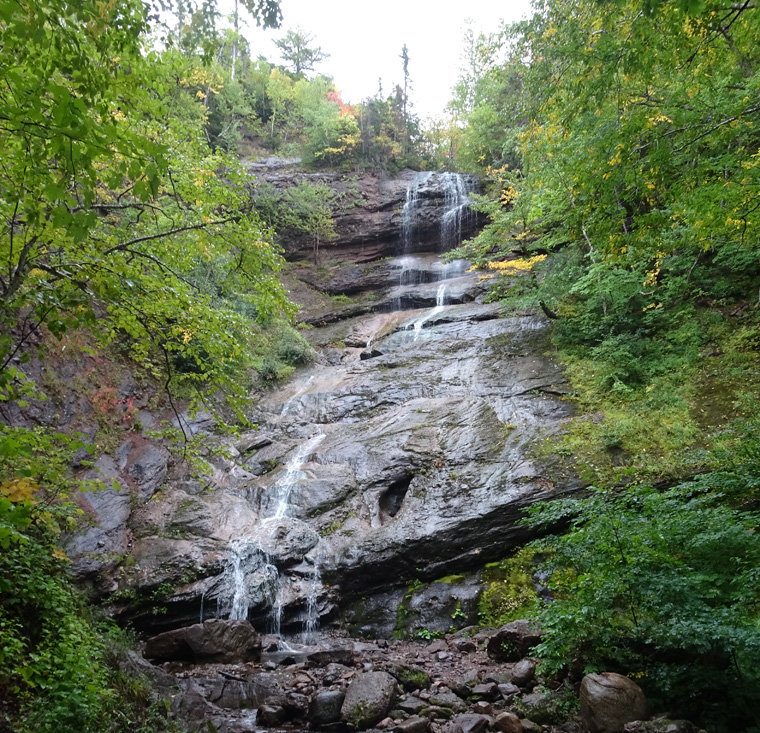
This image gives a good idea of the nature of the Cabot Trail as it passes through the National Park.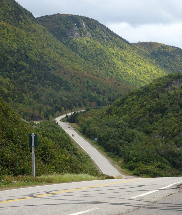
The trail as it heads to the coast at Pleasant Bay.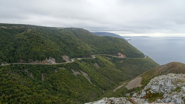
and when it arrives there.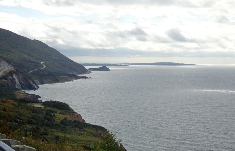
Gorgeous views
It was a nice drive.
Love seeing your photographs. Gorgeous views. Thank you for sharing, Kusum
Thank you. Hope your travels are going/went well.