In contrast with yesterday’s disappointing drive today’s 108 miles between Whitehorse, YT and Skagway, AK was far better than I had anticipated. This short journey, along the Klondike Highway, took me back to Alaska and matched the scenery I had seen there earlier.
Just a few miles outside Whitehorse the Yukon River flows through the narrow, fifty foot deep Miles Canyon. There is a suspension bridge across the canyon and trails along each rim. The Milepost had listed this as a highlight of my journey and it was nice to do a bit of walking after two solid days of driving. Next up was Emerald Lake, another highlight according to the Milepost, but this was just a scenic overlook.
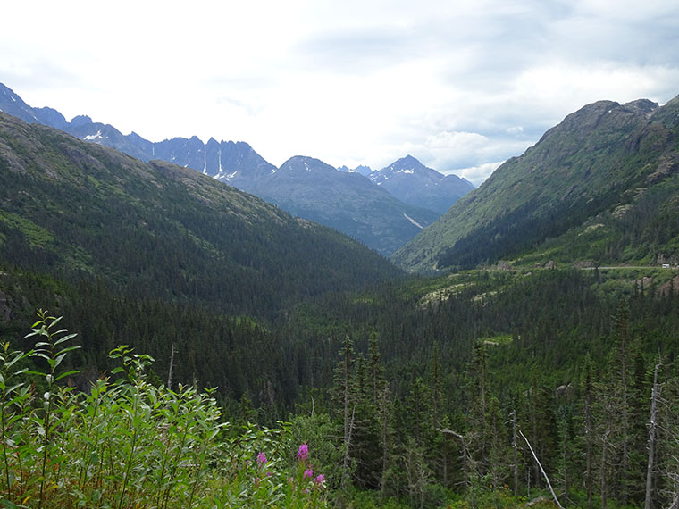
What the Milepost had failed to highlight was the dramatic, sometimes spectacular, scenery that surrounded me for the last half of the drive. The video is the best way to see this drive as a lot of sections were in avalanche zones which have no places to stop. It can be found here.
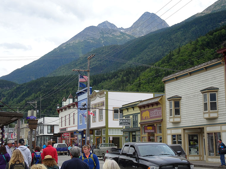
I arrived in Skagway around 1 PM, parked outside my B&B and went to explore this tiny town. It is nestled on a small plateau with access to the Inner Passage and came into existence in a big way as the gateway to the Klondike Gold Rush of 1897-1899. During this time about 100,000 “stampeders” passed through the area as they attempted to get to Dawson City on the Yukon river. In order to get there they needed to climb over White Pass, which is the pass I drove over today. or the steeper Chilkoot Pass. However, the Northwest Mounted Police were concerned that most who climbed the passes would perish in the Yukon and insisted that they bring with them a year’s supply of food and living essentials before they would admit them to Canada. This meant that each person had to climb the pass about 40 times, carrying a heavy load each time, in order to satisfy the Mounties. Even so, about 30,000 people were able to meet the challenge and move inland where they still had to buy or build a boat and navigate a further 500 miles on lakes and rivers to get to Dawson City.
The Klondike Gold Rush National Historic Site is, basically, much of Skagway. Several original buildings from 1896 to 1903 have been restored by the National Park Service and other organizations and the local council and businesses have agreed to maintain the external appearance of all buildings in the style of the period. I enjoyed a film at the visitor center and then a ranger-led walking tour as well as wandering around independently.
Miles Canyon, just south of Whitehorse.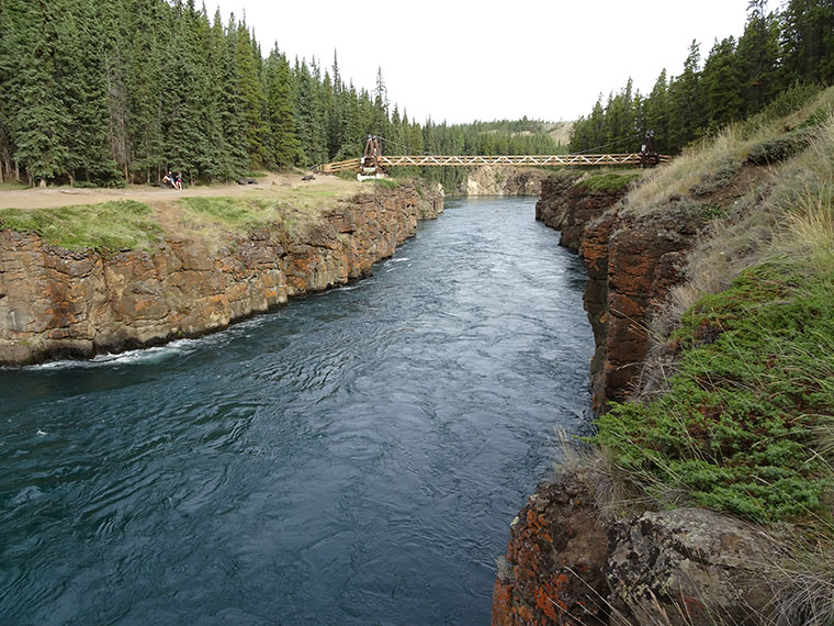
The color variations in Emerald Lake are due to deposits of white marl, a mixture of clay and calcium carbonate, on the bottom of the shallow lake.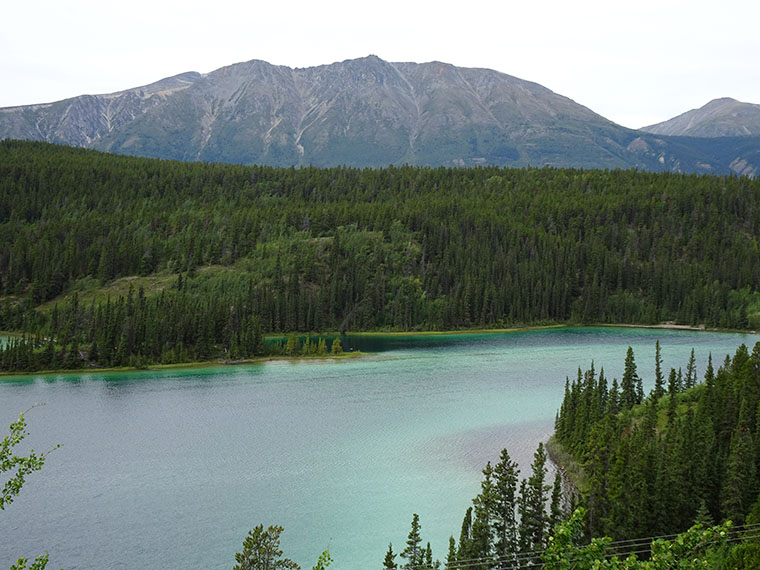
The Klondike Highway follows the route of the White Pass and Yukon Railway which connects Skagway to Whitehorse but was only completed in 1900 – one year after the gold rush ended. 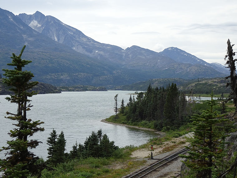
The highway passes through a little of British Columbia. This is Tutshi Lake.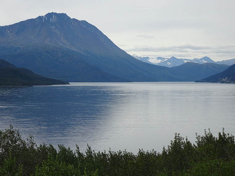
It then climbs through White Pass which is close to the Canadian-US border.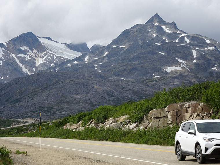
Skagway has an ice-free deep water port where cruise ships can dock to bring tourists.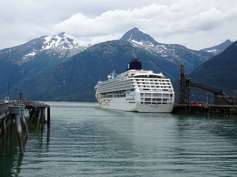
The Klondike Gold Rush National Historic Site is about a quarter of the town of Skagway which is hemmed in by mountains and ocean. Today there were three cruise ships in port and the town was busy.