I decided to include the map into today’s post to explain my route. I wanted to travel between Quebec and Montreal along the scenic byway that runs along the northwest bank of the St. Lawrence Seaway. However, the US-Canada border, rather inconveniently, bends away from this path such that a straight shot would have meant there were a few parts of the border that would have remained more than 100 miles from my path. This, of course, was unacceptable.
I considered driving southeast from Quebec along route 73, then turning southwest to head for Sherbrooke and on to Montreal. This would have kept the border within 50 miles but the path was so much longer and appeared to contain nothing of interest so I “cheated” and took the path shown. The little jog to the southeast from Trois Rivieres was all that was needed so that no point on the border was more than 100 miles away.
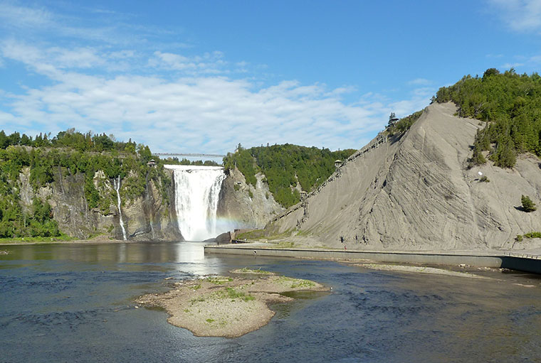
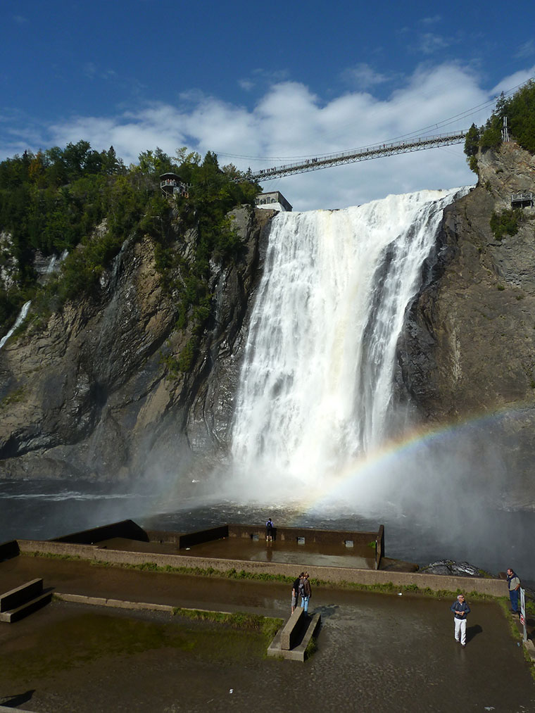
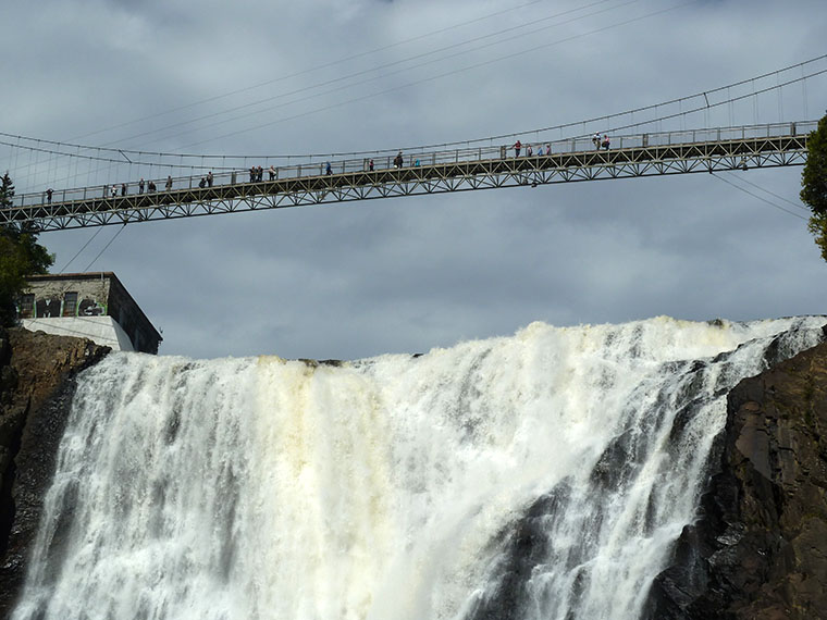
The 130 km of driving this saved gave me plenty of time to wander around Montmorency Falls Park, just north of Quebec, before getting on my way. These falls are actually 30 metres higher than Niagara and are a pretty impressive sight. The photos below give some idea of the size and the map/video page here includes video.
Falls are picturesque! Looks like you’re having a good time, Mr. Logic!!,