Thursday, Sep 21 2023
I continued east into Nebraska today and visited two important landmarks along the Pioneer trails, Scotts Bluff National Monument and Chimney Rock National Historic Site.
As you can imagine, preparing for a journey like this took months. Individuals and families often had to sell most of what they owned, figure out what provisions they would need for up to 6 months travel, buy and pack everything to survive the conditions, as well as get oxen and a wagon or, if walking, handcarts. The cities in Missouri where they set out from were well stocked with travelers’ needs but there was virtually nowhere to get supplies on the trails – particularly in the early days. After 600 miles (966 km) of traveling slowly across the seemingly endless, featureless plains they would finally see two prominent landmarks along the North Platte river. These were Chimney Rock and Scotts Bluff.
Chimney Rock is the most recognizable landmark on the whole journey. I was traveling east so I arrived at Scotts Bluff first but could easily recognize Chimney Rock on the horizon some 23 miles away.
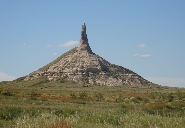
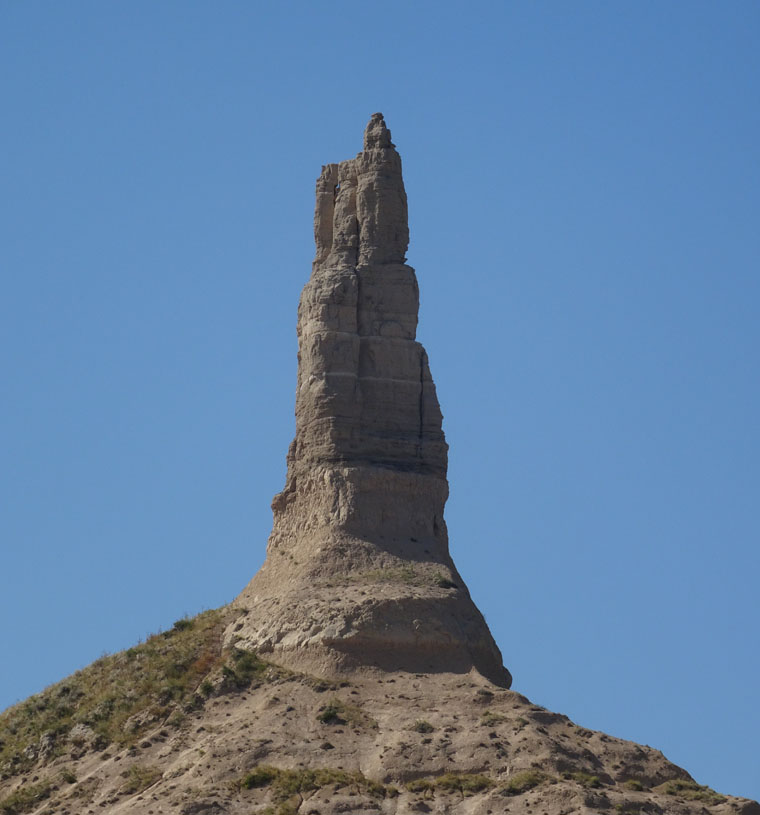
The museum at Chimney Rock is small but they have invested in building several new trails that opened just 7 weeks ago. These allow visitors to get closer views without risking more rapid erosion.
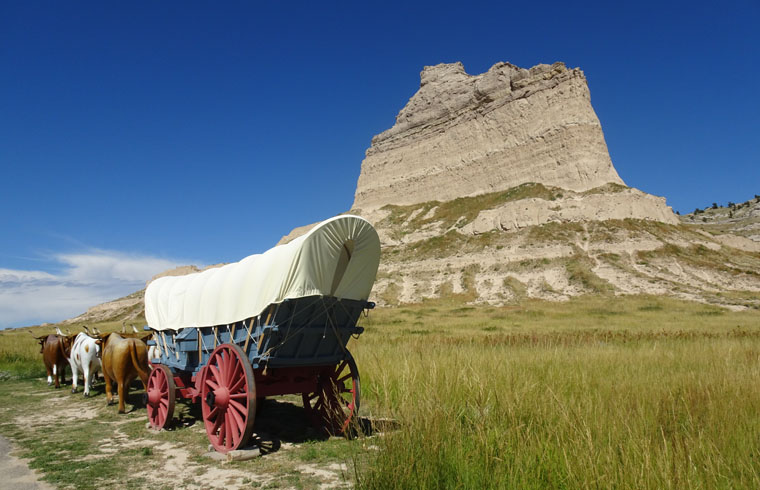
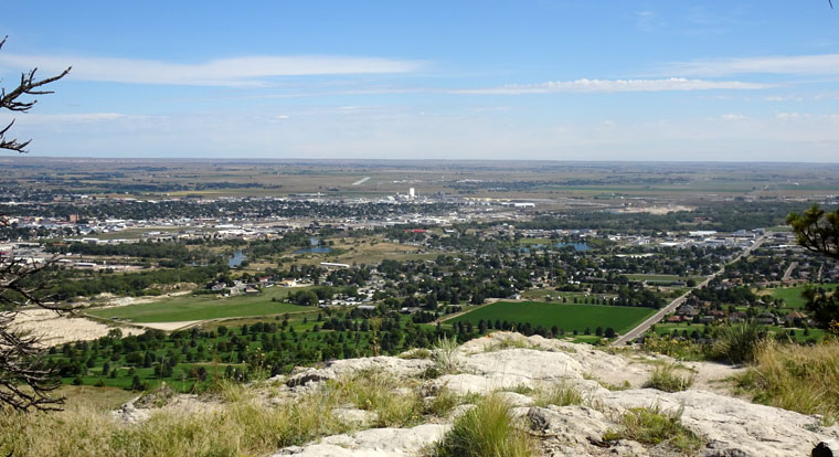
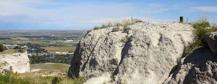
The next landmark that travelers would see is Scotts Bluff which rises 800 feet (244 m) above the river. and required detouring from the river to get around.
The pioneers took on an arduous journey in the hope of a better life, whether it was gold riches in California, land and new opportunities in Oregon or religious freedom in Salt Lake. The most feared issue was indian attacks but, in fact, most deaths that occurred were due to sickness and over 90% of those who started the journey completed it. Some gave up or decided to return east so there was two way traffic on the trail but numbers were not documented.
Interesting narrative as ever Steve. Glad you’re finding some activities to make it worth while.
Thanks. I always find there are interesting places to visit. Even in Nebraska 🙂
I remember Scottsbluff for having the world’s most clueless zoo including a sign saying “Aviary – no birds because someone left the door open”. The member of staff I spoke with had worked at John Aspinall’s zoo in Kent, so at least he was less likely to be killed by his charges in Scottsbluff.
The question that comes to my mind is why you would visit a zoo in Scottsbluff. I didn’t even know they had a zoo!