Tuesday Sep 19, 2023
Today’s journey was not at all scenic as it was 110 miles (177 km) of Interstate highway driving to get to Casper, WY.
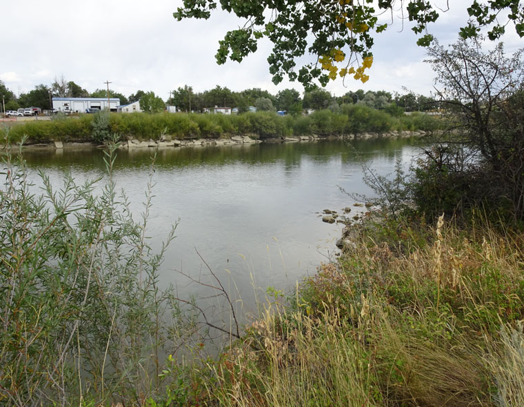
The greatest unforced migration in human history was that of the pioneers who journeyed westwards to create a life in the new U.S. territories mapped and explored by Lewis and Clark and other expeditions. The three main trails used by these pioneers were the California trail, the Oregon trail and the Mormon trail which all had one thing in common – they crossed the North Platte river at the location of current day Casper. Some 400,000 people used these trails, either on foot or in wagons, from the early 1830s until the completion of the transcontinental railway in 1869 reduced the journey from 5 or 6 months to 7 days.
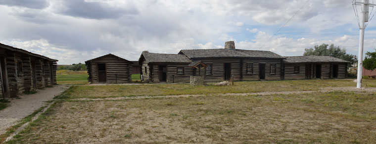
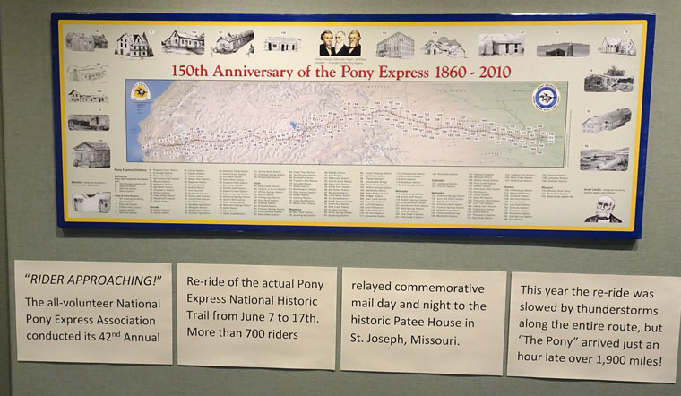
I visited two related sites in Casper today. The National Historical Trails Interpretive Center and the Museum of Fort Caspar. The first is a museum about life on the trails and why they all cross the North Platte river here while the second is a reconstruction of the fort that was built to protect travelers at the river crossing point as well as a museum of the history of Casper.
I expect the life of pioneers on these trails will also be detailed at other sites I will visit in the next few days so I will just comment on the routes today.
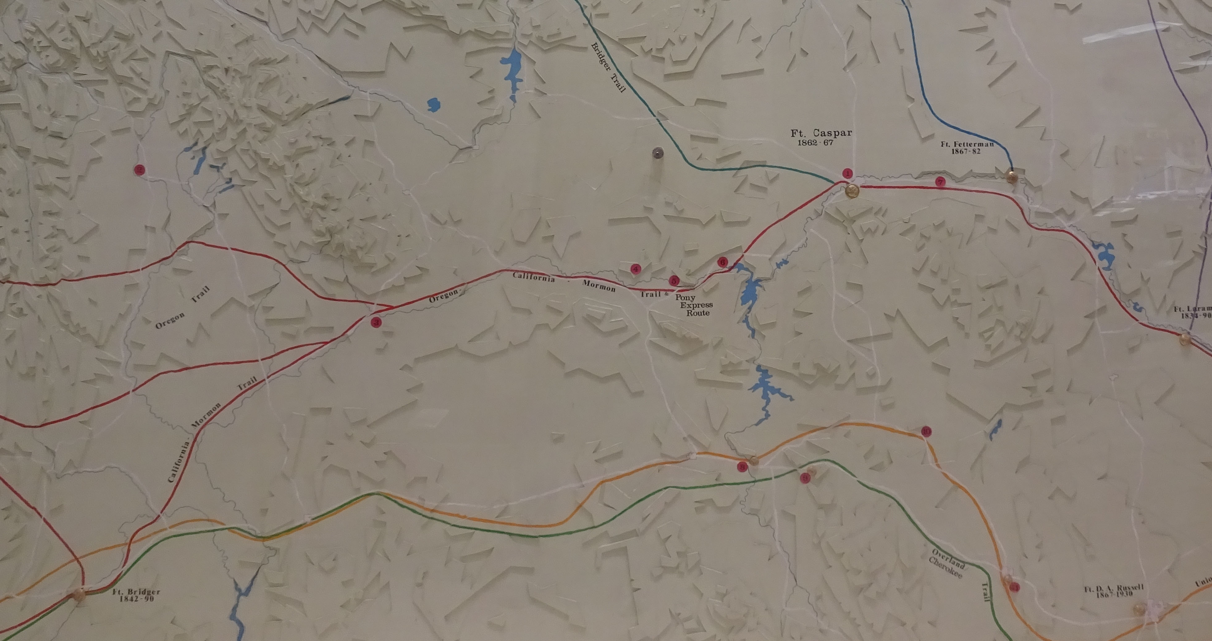
All three trails started at the Missouri river in the east and followed the North Platte river across the prairie for hundreds of miles. This was a gently sloping route with plenty of grass for animal feed, fresh water and buffalo to hunt. It lead to a place in the Rockies where there was a relatively easy passage over the continental divide but getting there required crossing the river.
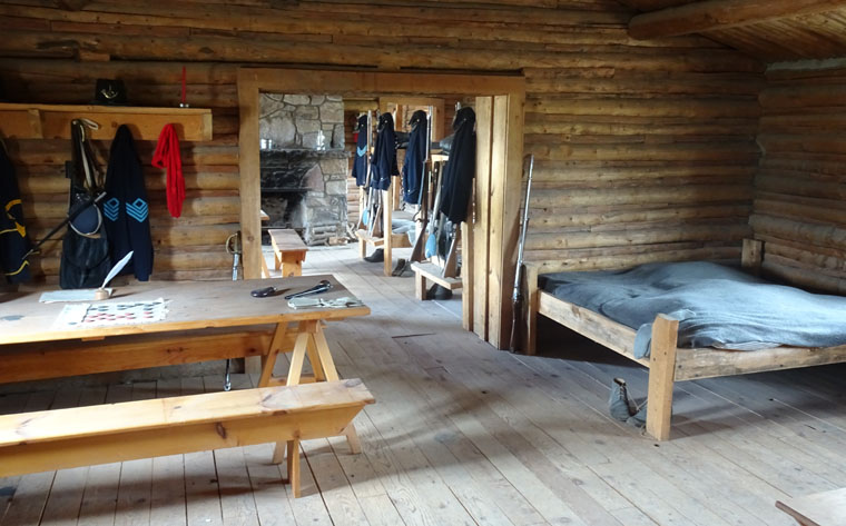
The partial Fort Caspar reconstruction was created in 1936 from drawings that had been made by Caspar Collins, an army lieutenant who spent time at the original fort and was killed in action near there. The fort was named after him but, due to a misspelling, the city that was later founded in the area was called Casper.
That’s quite a battery. It’s amazing that we’re still trying to figure out how to store electricity.
What a trip!
It’s difficult to store electrical energy. Those positives and negatives just want to be together and it takes a lot of force to stop them 🙂 Thanks for following along.
You should have your own show on netflix!! Really quite majestic…all of it!! I’e always wanted to visit this area of the country so living vicariously through you is totes fun!!
Have a wonderful time!
Have you watched any of my road videos? My voice over is so monotonous that Netflix would cancel after a few minutes 🙂
You are one of the main reasons I’m here. Your thoughts on visiting Boise got me thinking about this trip. Thanks.
Really!!! I’m thrilled that my idea that never came to fruition has provided you with such a wonderful trip. Lols….well living vicariously!
I’m thrilled too. I’ve really enjoyed the trip.