Sunday April 2, 2023
Before describing my day I just wanted to say that my friends, Rita and Christian, finally made it home at about 1 AM this morning after their multi-modal journey from Atlanta.
I only achieved three of my planned visits today for the weirdest of reasons. I use the TomTom GPS navigation app on my phone, rather than Waze or Google Maps, because I often go to locations where there is no cell phone service and TomTom uses maps stored on the phone. However, I enter my planned stops the night before using Google Maps to make sure everything is accurate. Today I was happily heading toward my second stop when the app simply stopped navigating. It was receiving no GPS data from the phone and was displaying a static image that didn’t even show a road. I pulled over and restarted the phone which, initially, seemed to do the trick but, 10 minutes later, the same thing happened.
In case I drop or lose my phone I bring my old phone on trips with the same app on it. Problem solved, I thought, but the old phone, obviously, has no cellular service and did not have my planned third stop, the Toccao River Swinging Bridge, in its POI (points of interest) list. It is in the middle of nowhere at the end of a dirt road, so I was not able to find it on the map and had to abandon that idea, Nevertheless, the places I did get to were interesting, the drive was wonderful and, luckily, TomTom had my hotel listed as a POI so it turned out to be a good, if somewhat abbreviated, day.
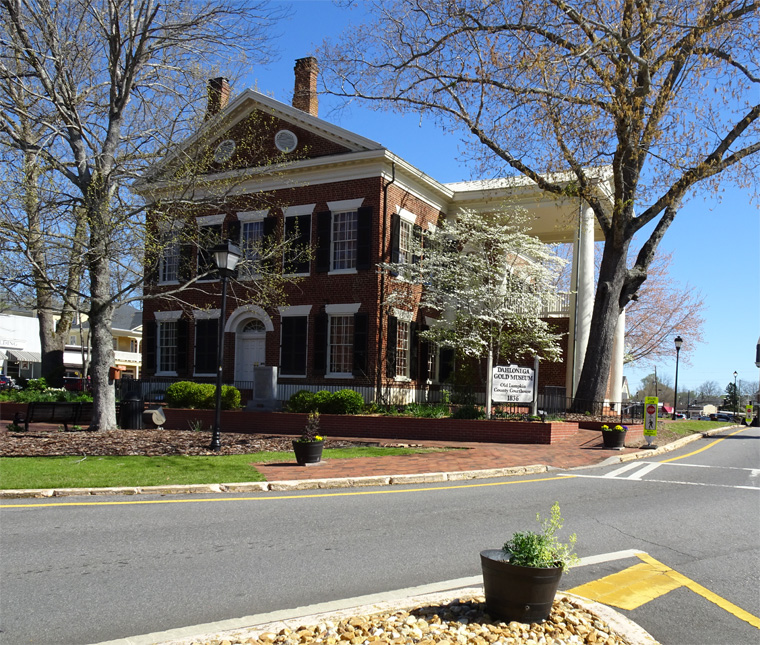
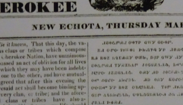
My first stop was the Gold Museum, in Dahlonega, where I learned that Georgia had the first gold rush in the US in 1829 (the California rush started in 1848 and Klondike/Alaska in 1896). At the time the area was inhabited by the Cherokee people and the name Dahlonega comes from the Cherokee for “yellow”, the color of gold. Although the Cherokee found gold on their land they did not consider it valuable. However, this gold cost them dearly as they were forced from their lands by the Indian Removal Act, signed by President Andrew Jackson in 1830, and forced to walk the “Trail of Tears” where thousands would die as they were exiled to Oklahoma . Gold was a major motivation for this horror.


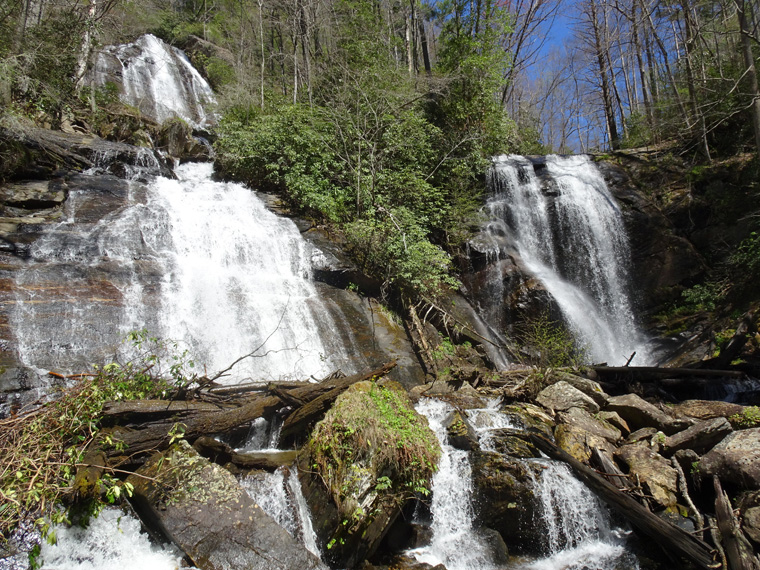
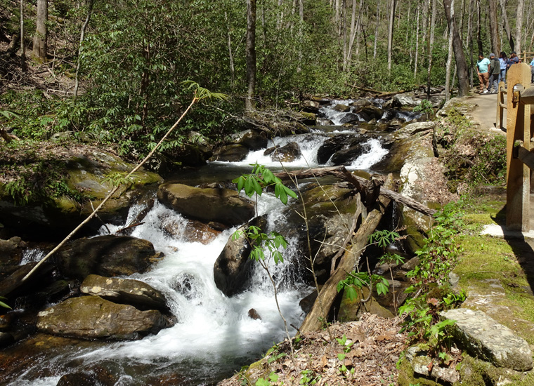
My second stop was at Anna Ruby Falls. This is where the Curtis and York creeks plunge over exposed granite and join each other to form Smith Creek at the bottom. Curtis Creek falls 183 feet (55 m) and York Creek 50 feet (15 m).

There is a short, steep, path up to the falls from the parking area alongside Smith Creek and, being a beautiful Sunday afternoon, the place was very crowded.

Smith Creek then flows on a further 550 miles (886 km) to reach the Gulf of Mexico.
I then drove on to Murphy, NC for the night. Almost the whole of the drive was through attractive, green countryside on single lane roads and it was most enjoyable.

Truly a great lesson in social studies. And you were a Physics teacher. Love it.
Kusum
True, but I hang out with Rita and Christian 🙂