Saturday September 7, 2019
Road video and map – Kings Canyon to Erldunda via Uluru
Some reviewers of Kings Canyon said they they found it as splendid as Uluru which gave me some concern as I headed to Uluru (Ayers Rock) and Kata Tjuta (The Olgas) today. Luckily, I completely disagree and found both sites impressive and different from anything I have seen before.
My original plan was to view the sunset and then stay at Ayers Rock Resort tonight but I was unable to get a reservation when I tried back in July. This is because they are banning visitors from climbing Uluru from October and, apparently, most Australians have “Climbing Ayers Rock” on their bucket list. As a result the resort has been booked solid for several months. This meant that I had to drive back to Erdunda for the night and everyone has warned me not to drive after dark. I was told that a bus hit two camels on that route just last week. I thought this was just horrible luck until I saw two camels at the side of the road while driving to Kings Canyon yesterday. Hitting a kangaroo would disrupt and, maybe, end my trip but hitting a camel would disrupt and, maybe, end my life. This limited me to about four hours to visit.
I visited Kata Tjuta, which is a cluster of huge, red rocks about 32 km/20 mi west of Uluru, first but only took photos as I wanted to be sure I would have time to walk at Uluru. Since they ban roadside stops on the approaches to both formations the road video has, by far, the best views of Kata Tjuta.
I then headed to Uluru, which also offered some excellent views to the dash-cam, to photograph it from different viewpoints and walk part of the way around the base. I was not interested in climbing as it is considered sacred by the Aboriginal owners and they have asked people not to climb it for decades. Not to mention that it takes two hours and is very strenuous! I had really only seen Uluru as a monolith previously but the base walk reveals many interesting insights with signs describing native uses, geological features and the local plants and animals along the way.
I then drove the 264km/164 mi back to Erldunda and arrived a little before sunset.
Part of Kata Tjuta, or the Olgas (best seen on the video).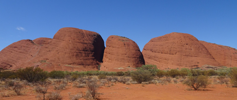
The traditional view of Uluru or Ayers Rock.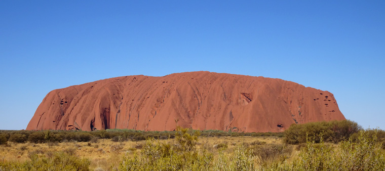
The base walk reveals many interesting details. They keep people away from the actual base to prevent damage and due to rockfalls like this.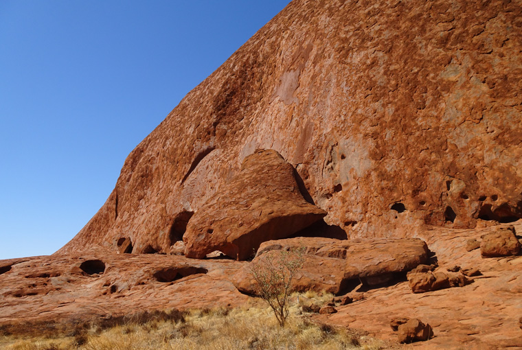
Is this the original Man Cave? That was the name given to this cave, where the male leaders would meet, by the native people.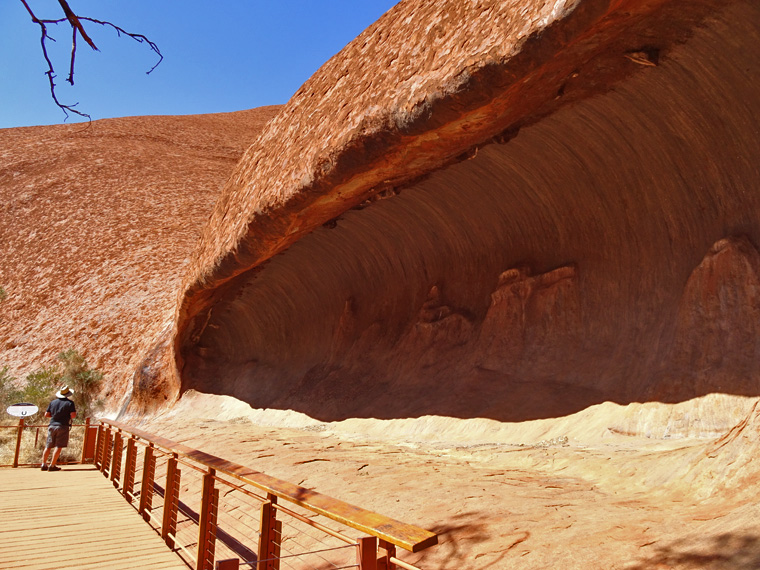
Uluru is far from a smooth monolith with plenty of indents and gorges.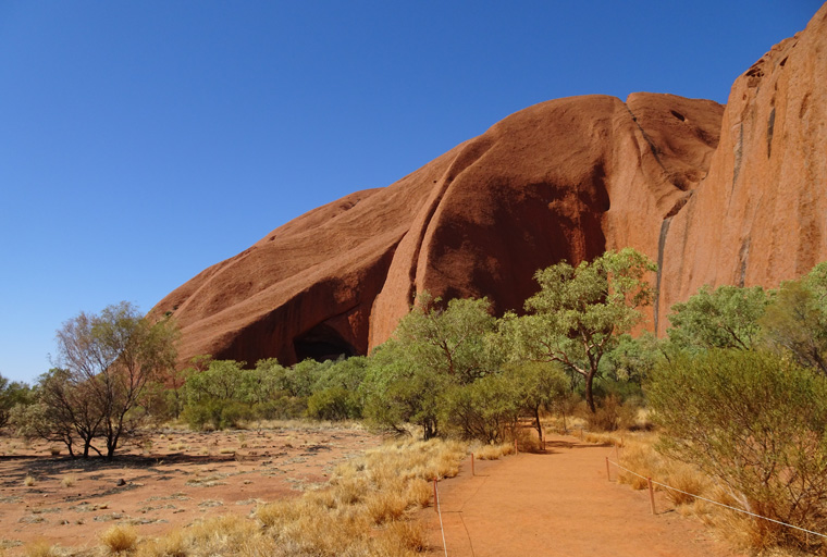
The damn climbers. Apparently coming down is as hard as going up and one woman who arrived at the bottom had slid so much of the way on her backside that her jeans were completely ripped open.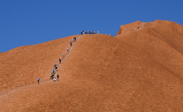

You wearing a big hat? Should have given you one of mine before you left. The colors of the big rock seem so different from other photos I’ve seen. The procession of climbers reminds me of the scene at Mount Fuji minus all the trash along the trail. Admittedly, and sadly at that, I would have loved to be one of those climbers! You take damn good photos.
I think we normally see photos at sunset so the rock looks artificially red. It’s actually and impressive orangey color. You have until October 25th to get here if you want to climb it.
Thanks for the compliment, when you have stunning places the photos look good.
The video is a little like driving across the desert in Oregon and Idaho! Impressive views.
I don’t remember any large lumps of red rock in Idaho or Oregon. What are you thinking of?