Today and tomorrow I plan to complete a loop that will entail driving about 500 miles to get back to where I started
Today’s half, from Blanding to Green River, UT was 290 miles with the sole mission being to visit Canyonlands National Park. On January 1st, 1999 I am confident that I was the first visitor of the year to arrive in The Needles section of the park. The place was deserted, the visitor center was closed and mine was the only car I saw. I guess I was not particularly impressed as I never returned. However, Utah in January and Utah in August are very different and I, along with many others, enjoyed my time here today.
Canyonlands NP is split into three sections with different access points. The Needles is the section east of the Colorado river and is relatively flat which is why the scenery in this section is less dramatic than elsewhere. The road to get here, however, is impressive in places and is one of the highlighted sections on the road video.
The other section I visited is called Island in the Sky and is the part of the park between the Green and Colorado rivers. It is a huge mesa that looks down on the many canyons that give the park its name. The views in this section are dramatic, but fairly distant, and some of the best scenes of the day were captured on the dash-cam driving to the park entrances. The map and that road video can be found here.
The Needles section is relatively flat because its features are created by the compression of a salt layer, about 900 feet below ground, which causes the rock to fracture and then erosion does the rest. Nevertheless, an idea of the size of this balanced rock, which is on the other side of a canyon, can be gained by comparing it with the sign in the foreground.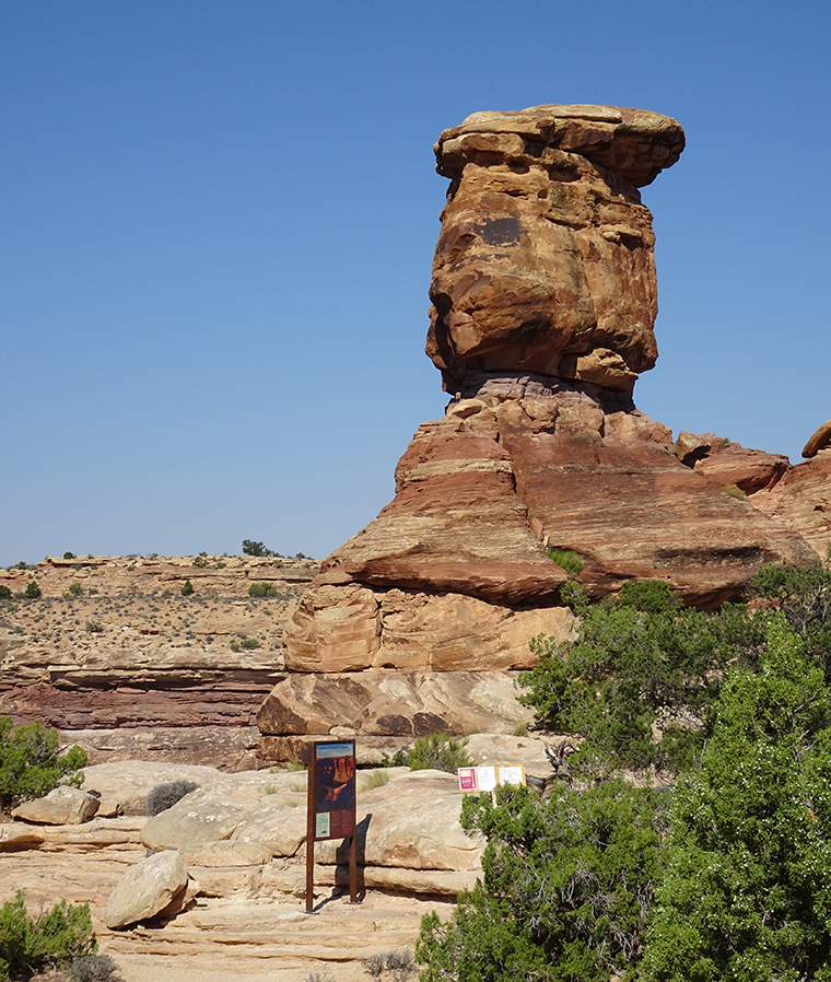 This process leads to the formation of “the needles”.
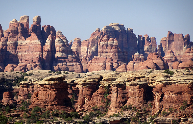
There are many canyon overlooks from the Island in the Sky mesa, this is Shafer Canyon.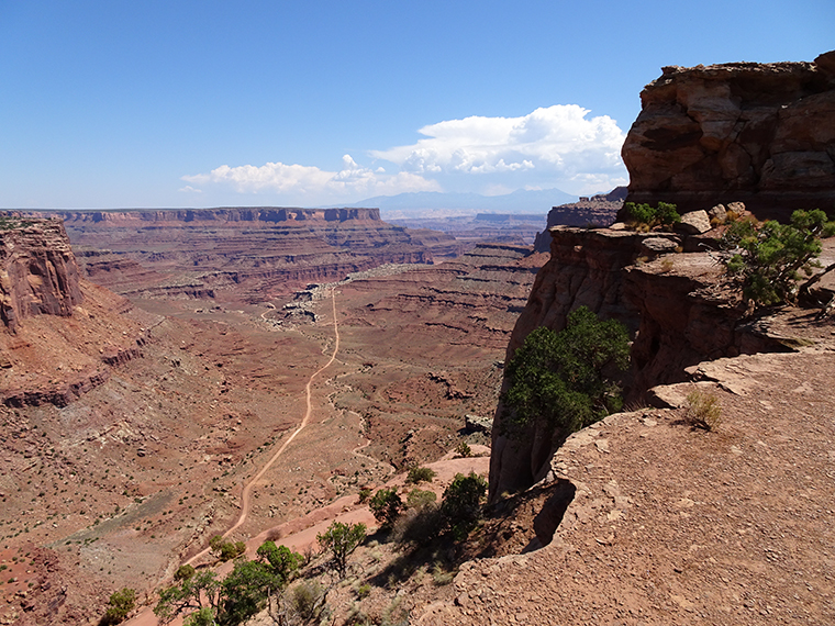
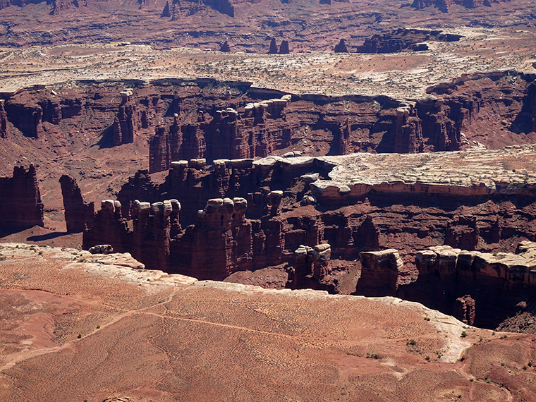
The depth of erosion, along with buttes of surviving mesa give rise to fantastic vistas.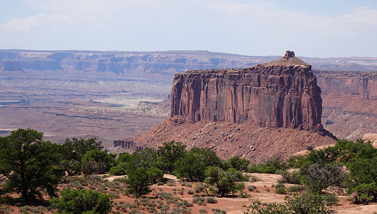
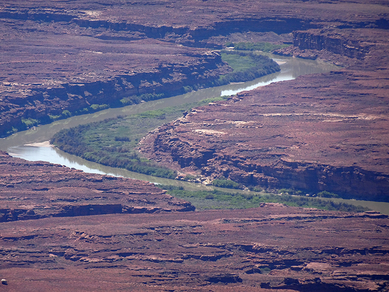
The Green River has carved a deep canyon for itself (click for the full size image). There is complexity even within the river canyon.
 and this telephoto image shows how the Green River got its name.

Fascinating! Thanks for sharing.
The strips on the rock remind me of Danshia in Gansu, China. I am sure the colors during sunset would be vibrant.
I’m sure that sunset and sunrise are spectacular in these areas. Unfortunately, you really have to camp to see them and I like my creature comforts too much.
Thanks for following along.
Wow these views are breath taking, hope you had a nice time x
Thanks. As you know, I always have a good time on a road trip in the desert. You will probably recognize some of today’s images from your trip.