Today was the last day I have to retrace my route as I was finally able to leave the Alaska Highway by turning south onto the Cassiar Highway. My destination was Dease Lake and, for those who are unfamiliar with British Columbia highways and communities with a population of around 30, the map will be useful and can be found here along with the road video.
I don’t usually plan my road trips more than two or three days ahead but this one had to be planned in detail due to the necessity of reserving flights, accommodation and tours and a couple of “fixed points” along the way. I did most of the planning in February and, when I used Google Maps to figure out how long today’s journey would take, my notes tell me the estimate was 8 hours 30 minutes. This was why I ended up staying in Dease Lake, even though it has no restaurant. There is a full service resort just 60 miles further on but the estimate to get there was 10 hours and, since I lost an hour yesterday due to time zones, I didn’t want to drive that long.
Fast forward to yesterday evening. I put the same details into Google Maps and the estimate is only 5 hours and 20 minutes. I guess the snow ploughs don’t pay as much attention to the Cassiar Highway and its small communities as they do to the Alaska Highway so summer travel is very much faster. Taking full advantage of the situation I had a Sunday lie-in and took my time over breakfast before getting on the road. The second half of the journey was very pleasant as much of the Cassiar Highway is designated as scenic.
Most of the scenic sections are mountain views across the many lakes. Here are two views of Good Hope Lake taken at the same spot. 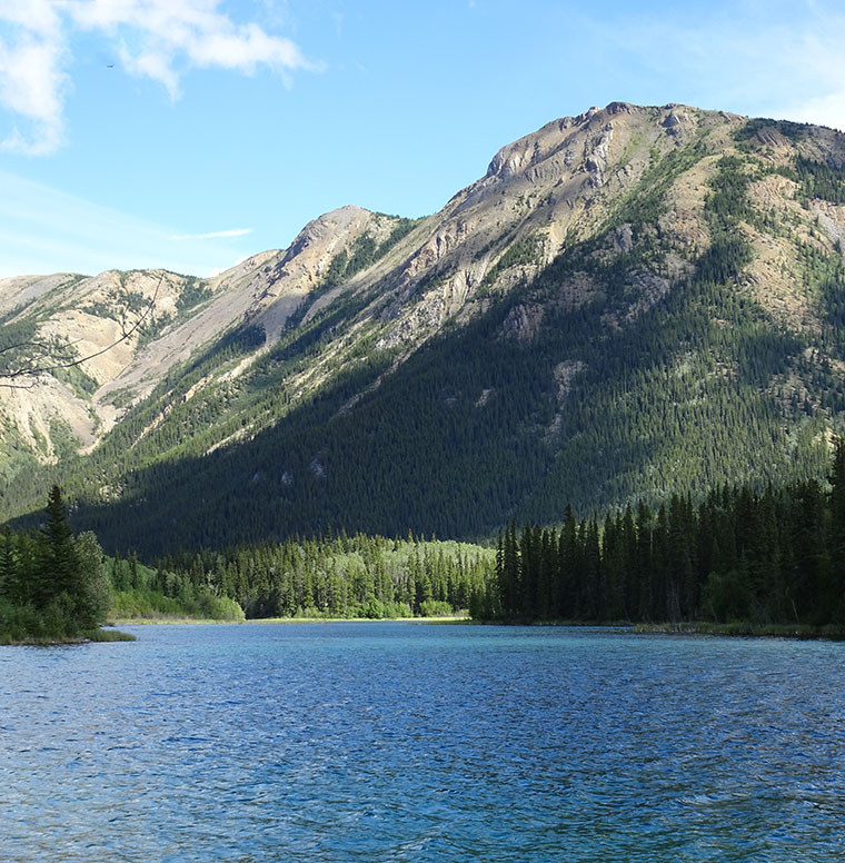 Judging by the colors, I’m guessing this lake has marl on the bottom, like Emerald Lake.
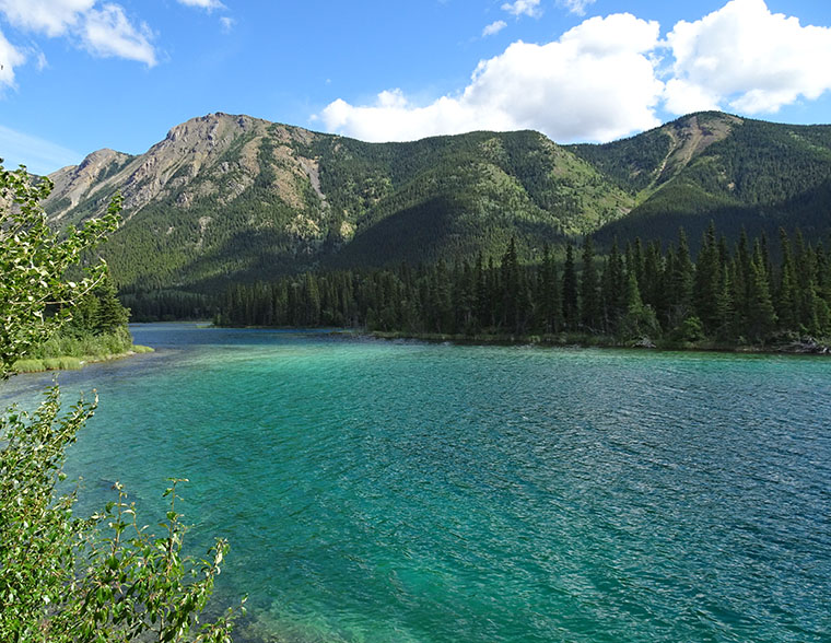
This is a view of Simmons Lake from the Cassiar Highway.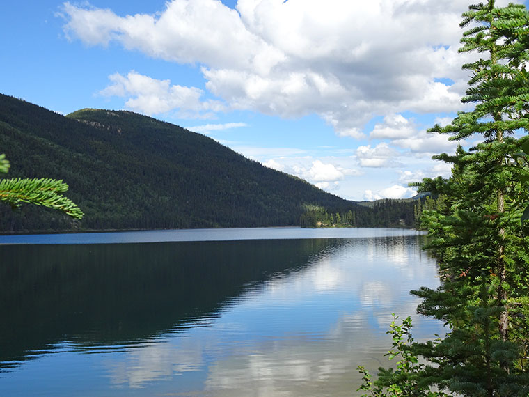
You could make postcards of your photos ~ they are stunning!
Thanks for the compliment but does anyone use postcards any more?